Use street patterns, building height, open space, color, and scale to interpret a dense city responsibly from an elevated viewpoint.
Begin with the street network
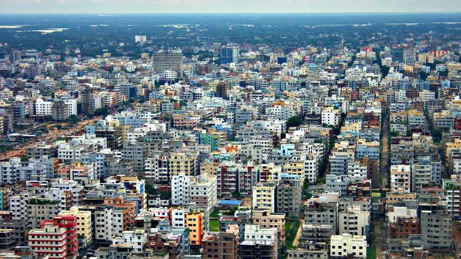
Road width, intersections, blocks, and visible paths show how the city is organized. Aerial views can reveal a strong grid, irregular growth, or several patterns layered together, but the image alone does not explain why those forms developed.
Compare height with footprint
Density is not simply the presence of tall buildings. Closely spaced lower buildings can create an intense urban fabric, while towers may sit within large open sites. Examine both height and the amount of land occupied.
Look for public and green space
Parks, courtyards, sports grounds, waterways, and institutional compounds interrupt the built pattern. Their distribution can suggest differences in access or land use, but responsible interpretation avoids claiming social conditions that the photograph cannot prove.
Use color as a navigation tool
Roof and façade colors can help the eye separate districts, routes, and individual structures. They may reflect materials, maintenance, lighting, or image processing, so color should guide visual reading rather than serve as evidence by itself.
Acknowledge what remains invisible
An aerial photograph cannot show daily experience, affordability, building condition, or community relationships. Pair visual observations with reliable local information before drawing conclusions about how the city works.